Original 1936 German city map of Berlin issued for the 1936 Olympic Games
75 €
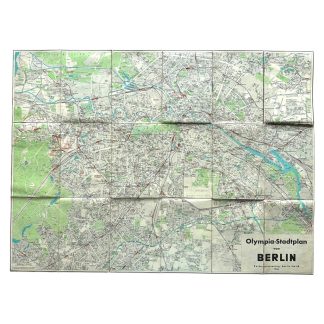
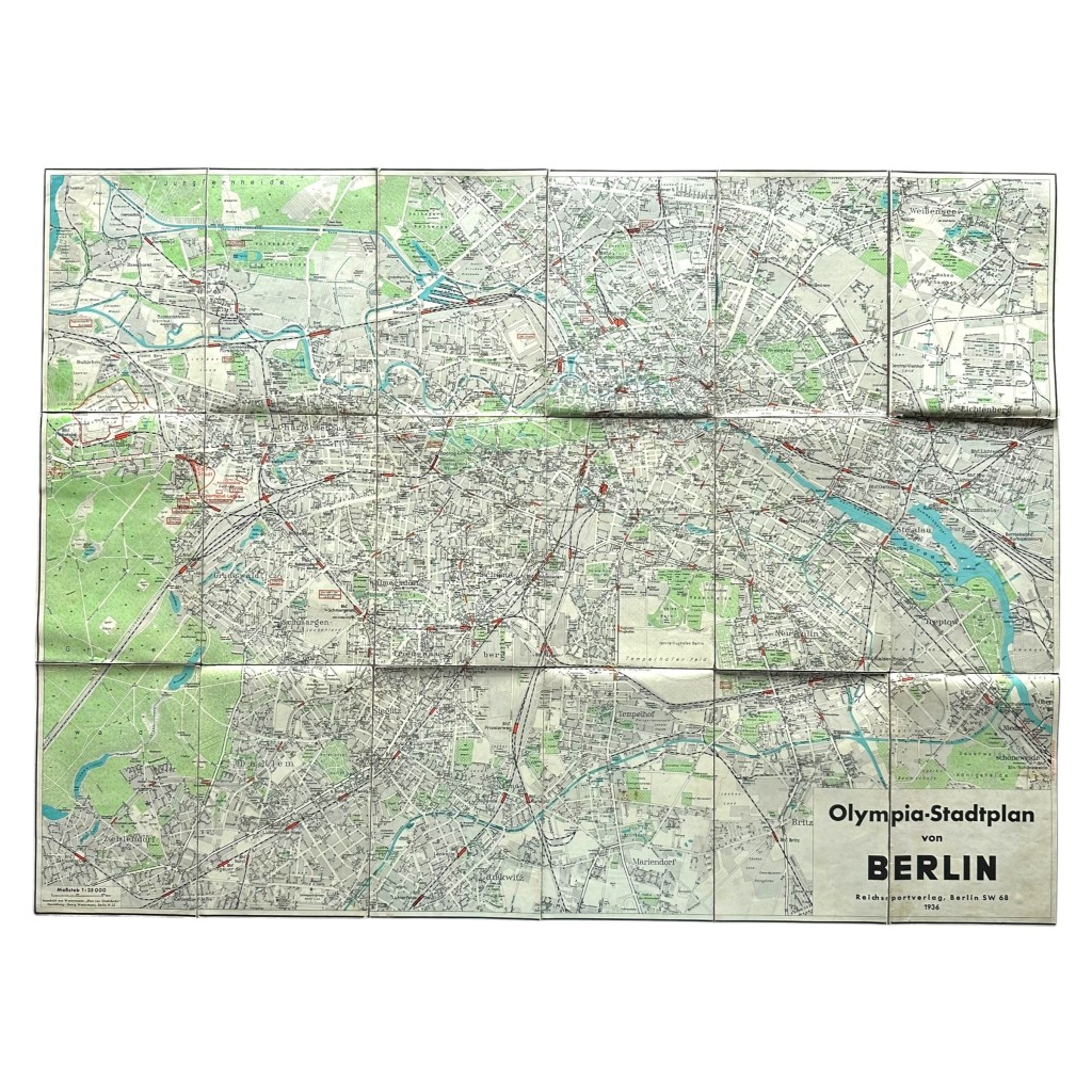
Original German city map of Berlin issued for the 1936 Olympic Games.
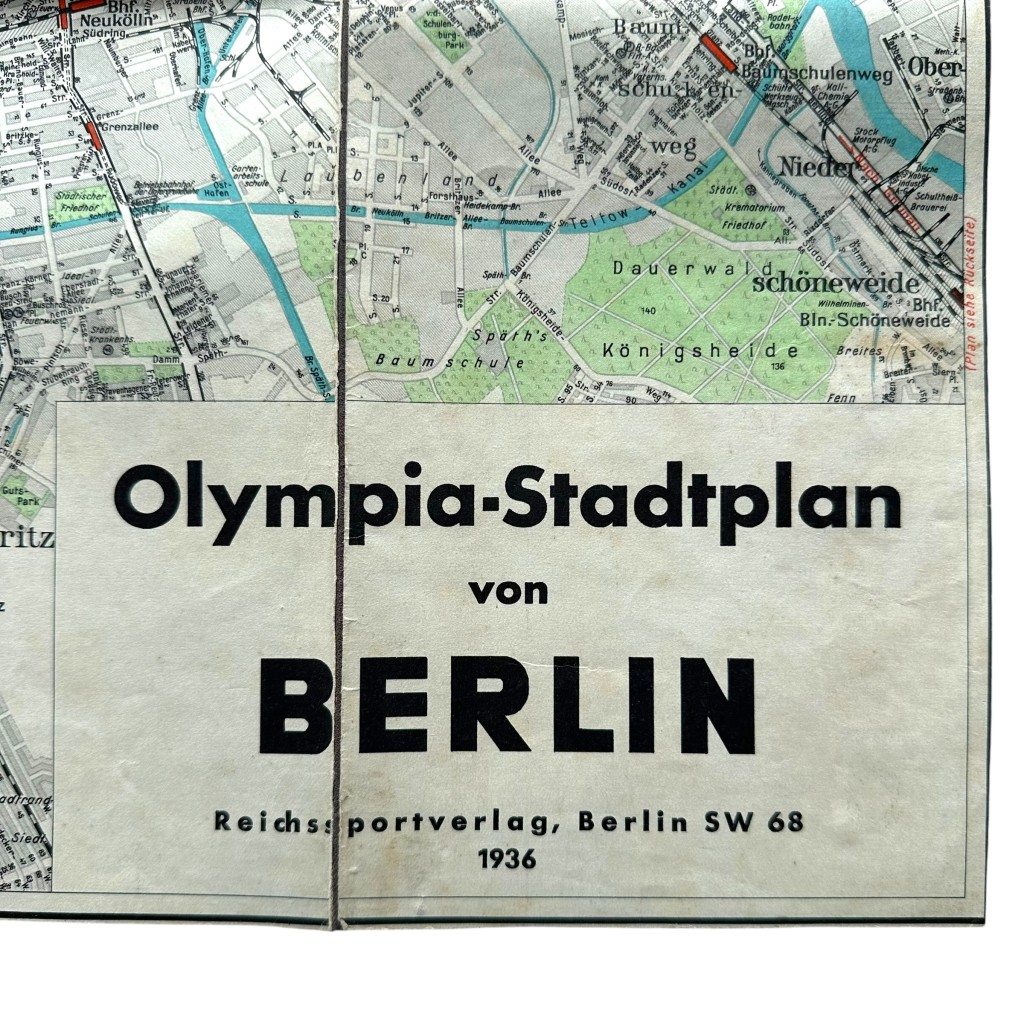
This large fold-out map is titled “Olympia-Stadtplan von Berlin” and was published by Reichssportverlag Berlin SW 68 in 1936.
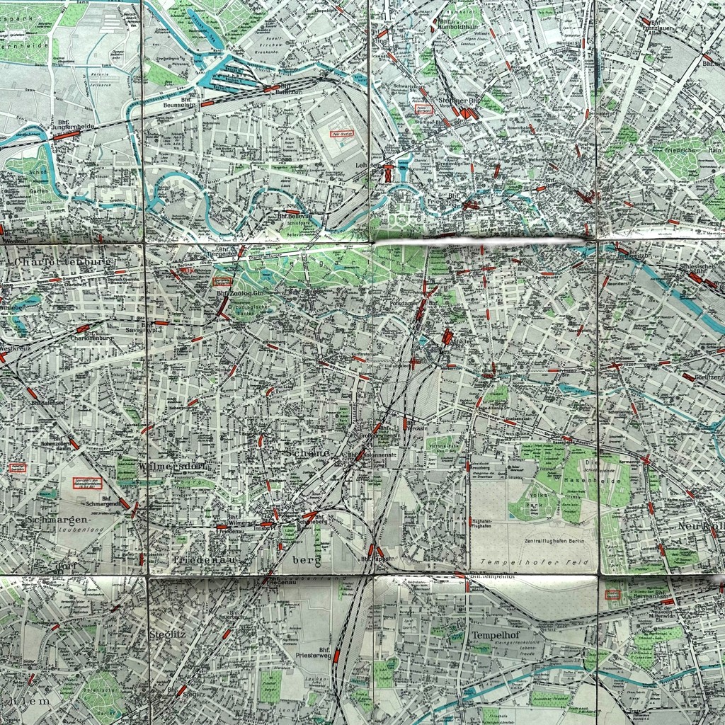
The map displays the street plan of Berlin including railway lines, stations, waterways, parks and important locations from the Olympic Games period.
Visible on the map are the Olympic Stadium, multiple railway connections and districts of pre-war Berlin.
Beautifully produced in color print with detailed interwar cartography.
A historically interesting item from 1930s Germany and the 1936 Berlin Olympic Games.
Interesting for collectors of German memorabilia, Olympic Games items, historical maps, cartography and WWII-related objects.
Article number: 19606
Originele 1936 Duitse stadskaart van Berlijn uitgegeven ter gelegenheid van de Olympische Spelen van 1936
Originele Duitse stadskaart van Berlijn uitgegeven ter gelegenheid van de Olympische Spelen van 1936.
Deze grote uitvouwbare kaart draagt de titel “Olympia-Stadtplan von Berlin” en werd uitgegeven door Reichssportverlag Berlin SW 68 in 1936.
De kaart toont het stratenplan van Berlijn met spoorlijnen, stations, waterwegen, parken en belangrijke locaties uit de periode van de Olympische Spelen.
Op de kaart zijn onder andere het Olympisch Stadion, diverse spoorverbindingen en stadsdelen van het toenmalige Berlijn zichtbaar.
Fraai uitgevoerd in kleurendruk met gedetailleerde cartografie uit het interbellum.
Een historisch interessant object uit het Duitsland van de jaren 30 en de Olympische Spelen van Berlijn 1936.
Interessant voor verzamelaars van Duitse memorabilia, Olympische Spelen, historische kaarten, cartografie en WO2-gerelateerde objecten.
Artikelnummer: 19606
Op voorraad