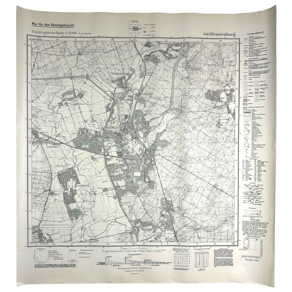
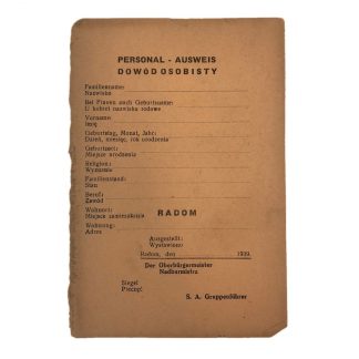
Original WWII German map of Oranienburg and Sachsenhausen
75 €
This German map is in good condition and dates from 1939 and it shows the town of Oranienburg and Sachsenhausen concentration camp in Germany.
Sachsenhausen was a concentration camp in Germany during the war.
Located 35 kilometers from Berlin, the camp was built by prisoners in 1936 in advance of the Berlin Olympics.
The camp was located in the district of Sandhausen (today Sachsenhausen, like the camp itself) in the town of Oranienburg. It was intended as a “model camp” and was later used as a training camp for SS and camp guards.
About 200,000 people were imprisoned in Sachsenhausen from 1939 to 1945. There are no reliable numbers for the period from 1936 to 1939. According to the official numbers, about 30,000 to 50,000 people perished. Among the prisoners were political opponents of Adolf Hitler, prisoners of war, so-called antisocials, Roma, Sinti, Jews, homosexuals and Jehovah’s Witnesses. The cause of death varied: disease, starvation, exhaustion, torture and execution.
Oranienburg is a town in the German state of Brandenburg. It is the Kreisstadt of the Landkreis Oberhavel.
It is located north of Berlin.
This map is originally from Berlin from the Wehrmacht map depot.
Perfect for the militaria or World War II collection!
Article number: 12770
Originele WWII Duitse stafkaart Oranienburg/Sachsenhausen
Deze Duitse stafkaart is in goede conditie en dateert uit 1939 en daarop is de plaats Oranienburg en concentratiekamp Sachsenhausen in Duitsland op te zien.
Sachsenhausen was tijdens de oorlog een concentratiekamp in Duitsland.
Het kamp lag 35 kilometer van Berlijn en werd in 1936 vooraf aan de Olympische Spelen in Berlijn gebouwd door gevangenen. Het kamp lag in de wijk Sandhausen (tegenwoordig Sachsenhausen, net als het kamp zelf) in de stad Oranienburg.
Het was bedoeld als ‘voorbeeldkamp’ en werd later ook als opleidingskamp voor SS’ers en kampbewakers ingezet.
In Sachsenhausen zaten van 1939 tot 1945 ongeveer 200.000 mensen gevangen. Voor de periode van 1936 tot 1939 zijn er geen betrouwbare getallen. Volgens de officiële getallen kwamen er ca. 30.000 tot 50.000 mensen om. Onder de gevangenen waren politieke tegenstanders van Adolf Hitler, krijgsgevangenen, zogenaamde asocialen, Roma, Sinti, Joden, homoseksuelen en Jehova’s getuigen. De doodsoorzaak varieerde: ziekte, uithongering, uitputting, marteling en executie.
Oranienburg is een plaats in de Duitse deelstaat Brandenburg. Het is de Kreisstadt van de Landkreis Oberhavel. Het ligt ten noorden van Berlijn.
Deze kaart is oorspronkelijk afkomstig uit Berlijn uit het Wehrmacht kaartendepot.
Perfect voor de militaria of Tweede Wereldoorlog collectie!
Artikelnummer: 12770
Out of stock


