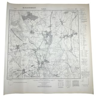
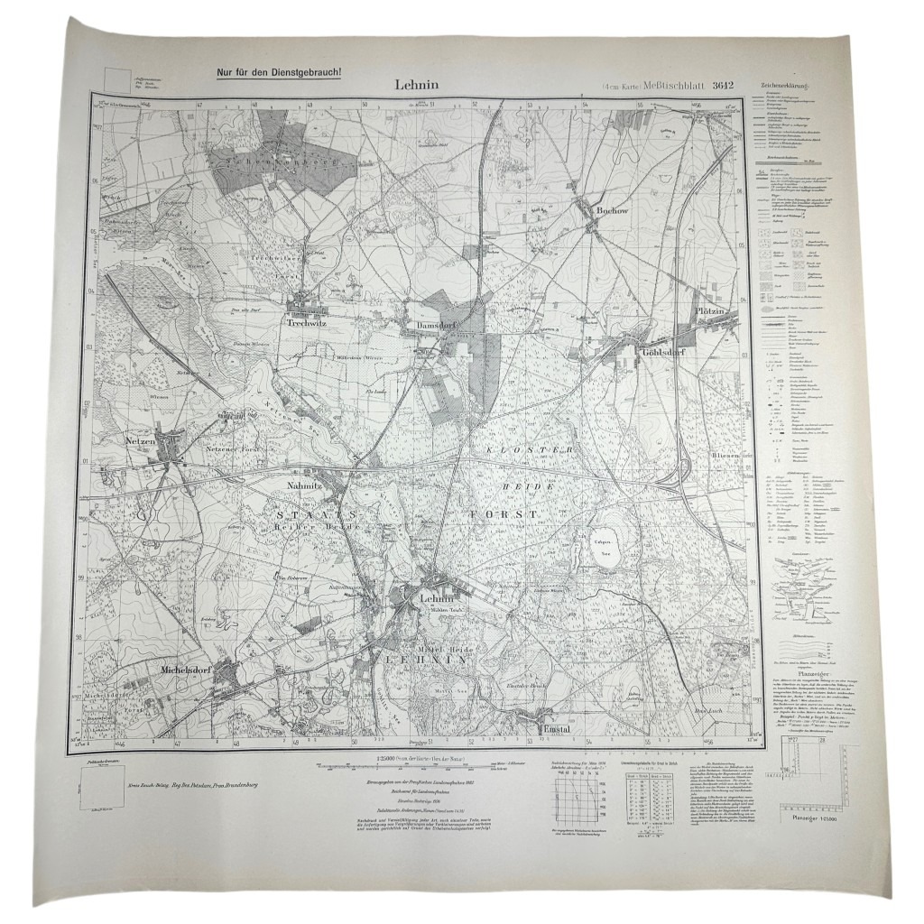
Original WWII German map of Lehnin
40 €
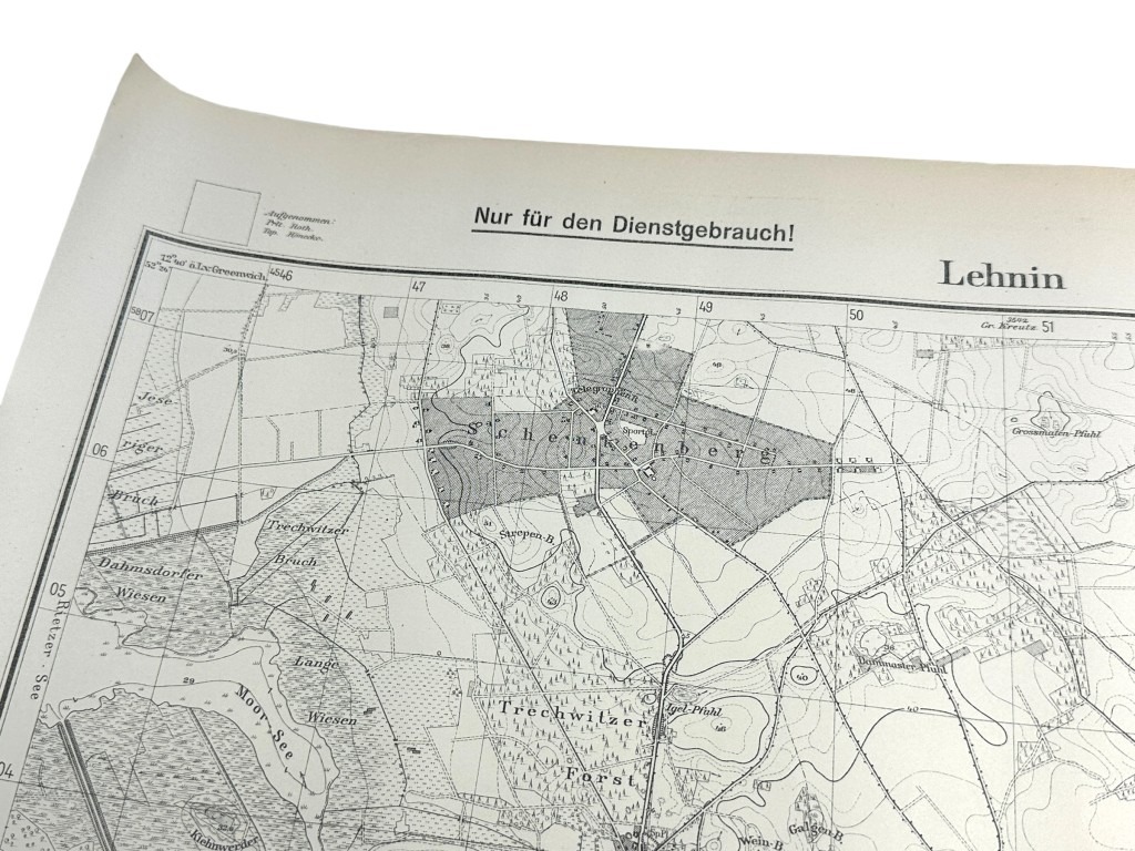
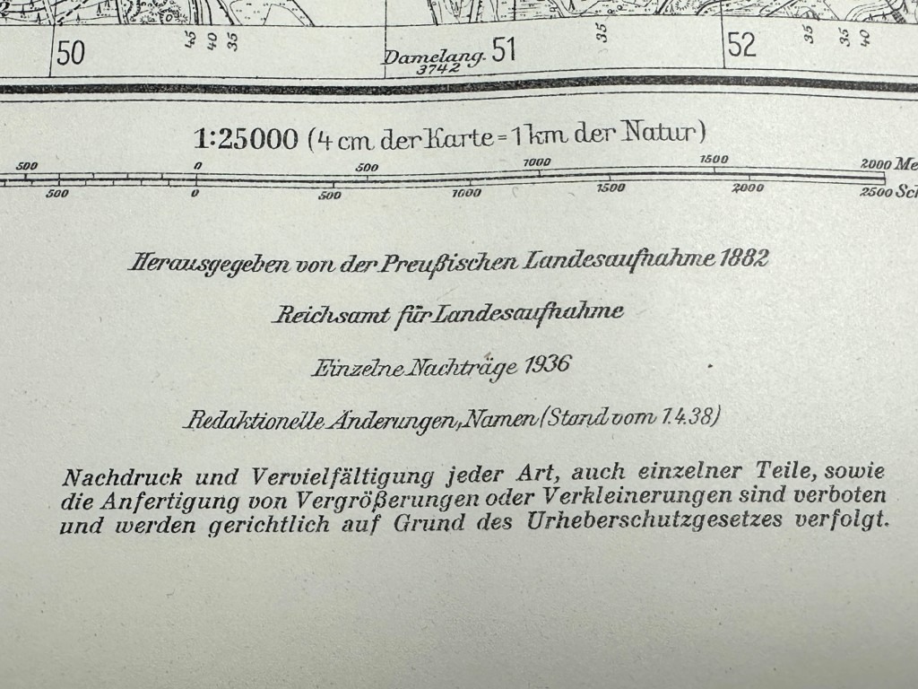
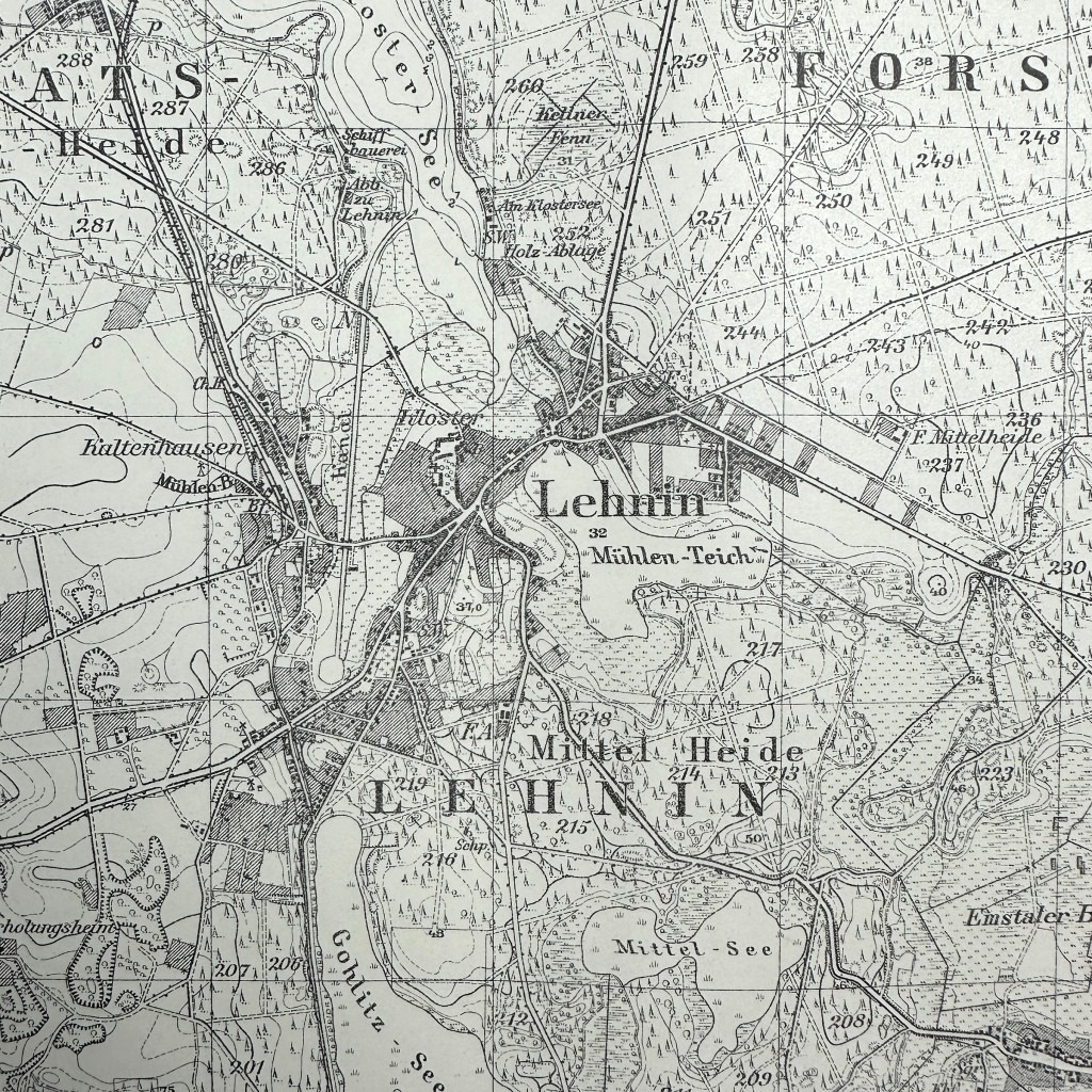
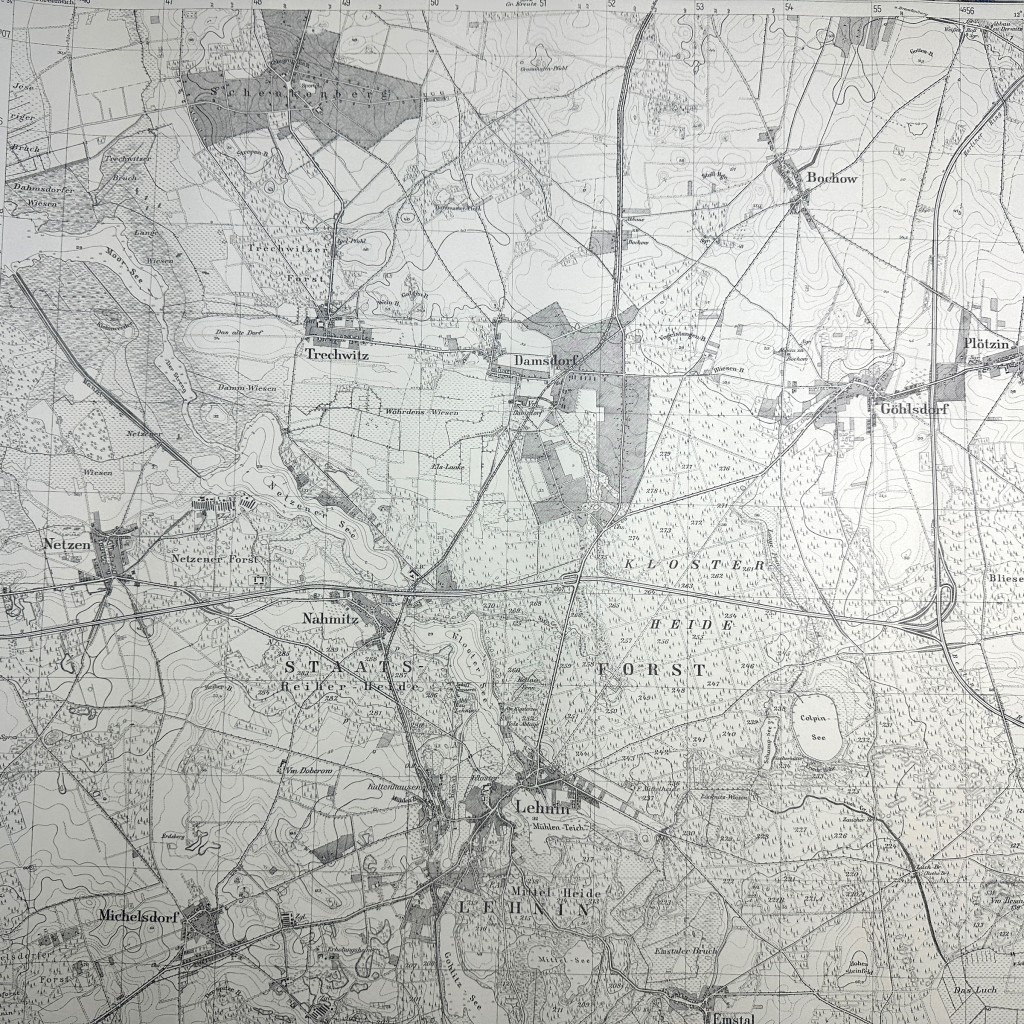
This German army map is in good condition, dates from 1938 and it shows the area of Lehnin west of Berlin.
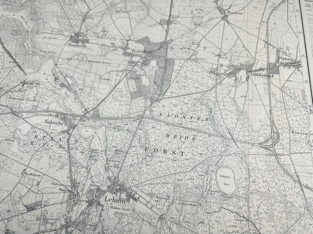
This map also shows places like Plötzin, Göhlsdorf, Damsdorf and many others.
In April 1945, there was very heavy fighting in this area when the Russians encircled Berlin.
Lehnin is a municipality in the German state of Brandenburg, and is part of the Landkreis Potsdam-Mittelmark.
This map is originally from Berlin from the Wehrmacht map depot.
Perfect for the militaria or World War II collection!
Article number: 12771
Originele WWII Duitse stafkaart van Lehnin
Deze Duitse stafkaart is in goede conditie, dateert uit 1938 en daarop is het gebied van Lehnin ten westen van Berlijn te zien.
Op deze kaart zijn ook plaatsen te zien zoals Plötzin, Göhlsdorf, Damsdorf en vele anderen.
In April 1945 werd in dit gebied zeer heftig gevochten toen de Russen Berlijn omcirkelde.
Lehnin is een gemeente in de Duitse deelstaat Brandenburg, en maakt deel uit van de Landkreis Potsdam-Mittelmark.
Deze kaart is oorspronkelijk afkomstig uit Berlijn uit het Wehrmacht kaartendepot.
Perfect voor de militaria of Tweede Wereldoorlog collectie!
Artikelnummer: 12771
In stock