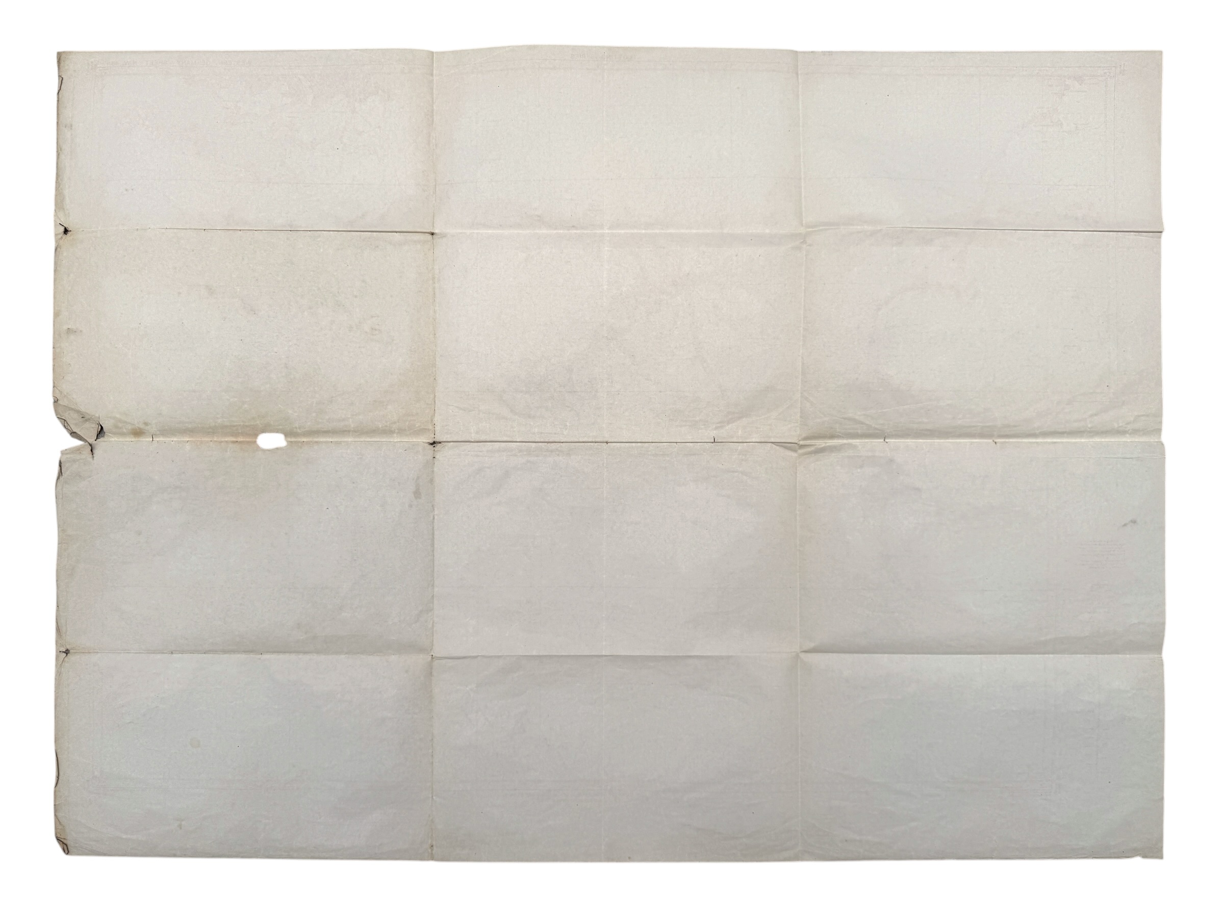
Original WWII British RAF Bombing & Flight Navigation Map Berlin Hannover Eindhoven Twente Germany – GSGS 4080 June 1944
350 €
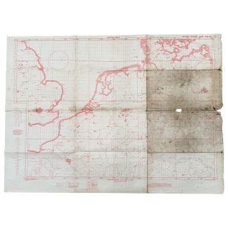
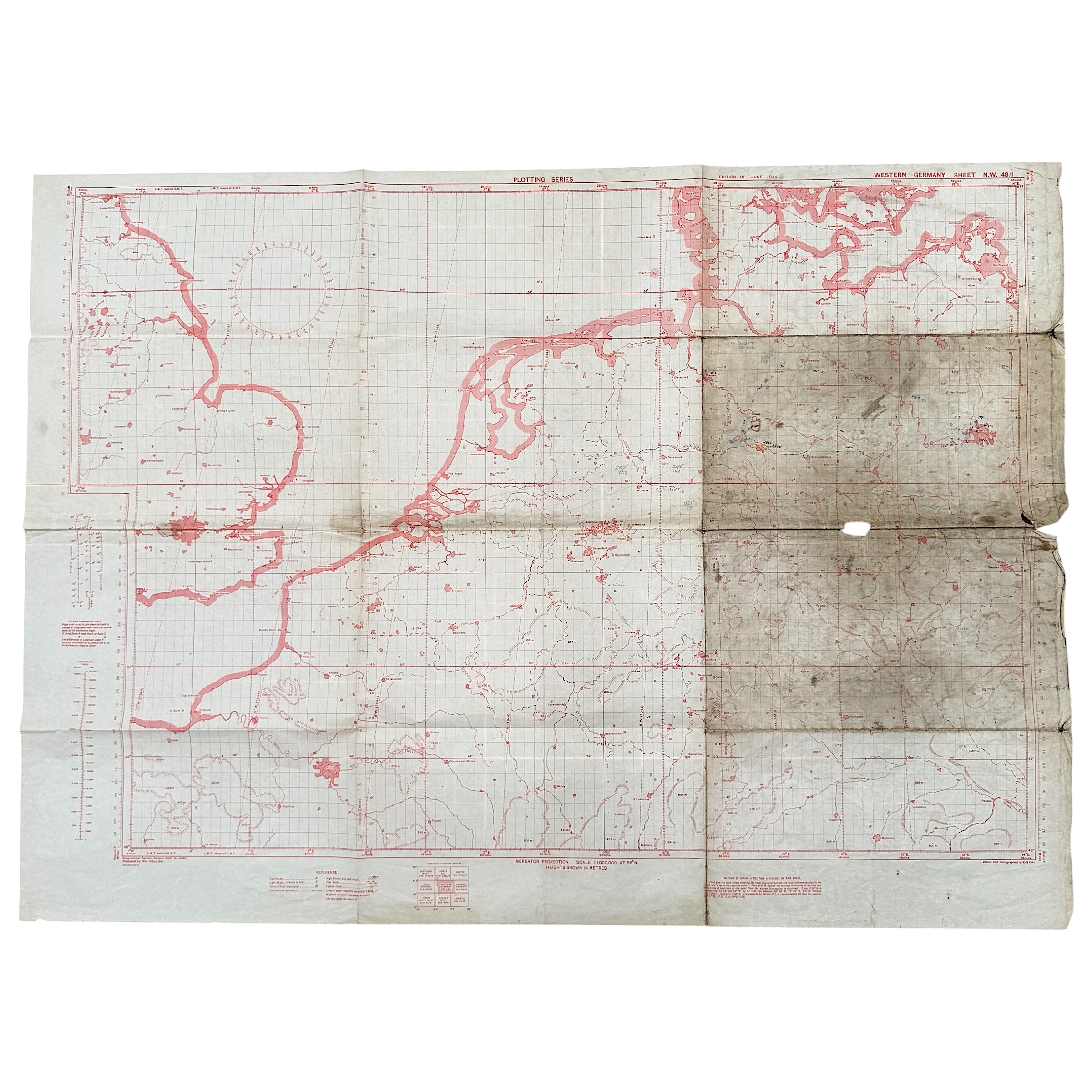
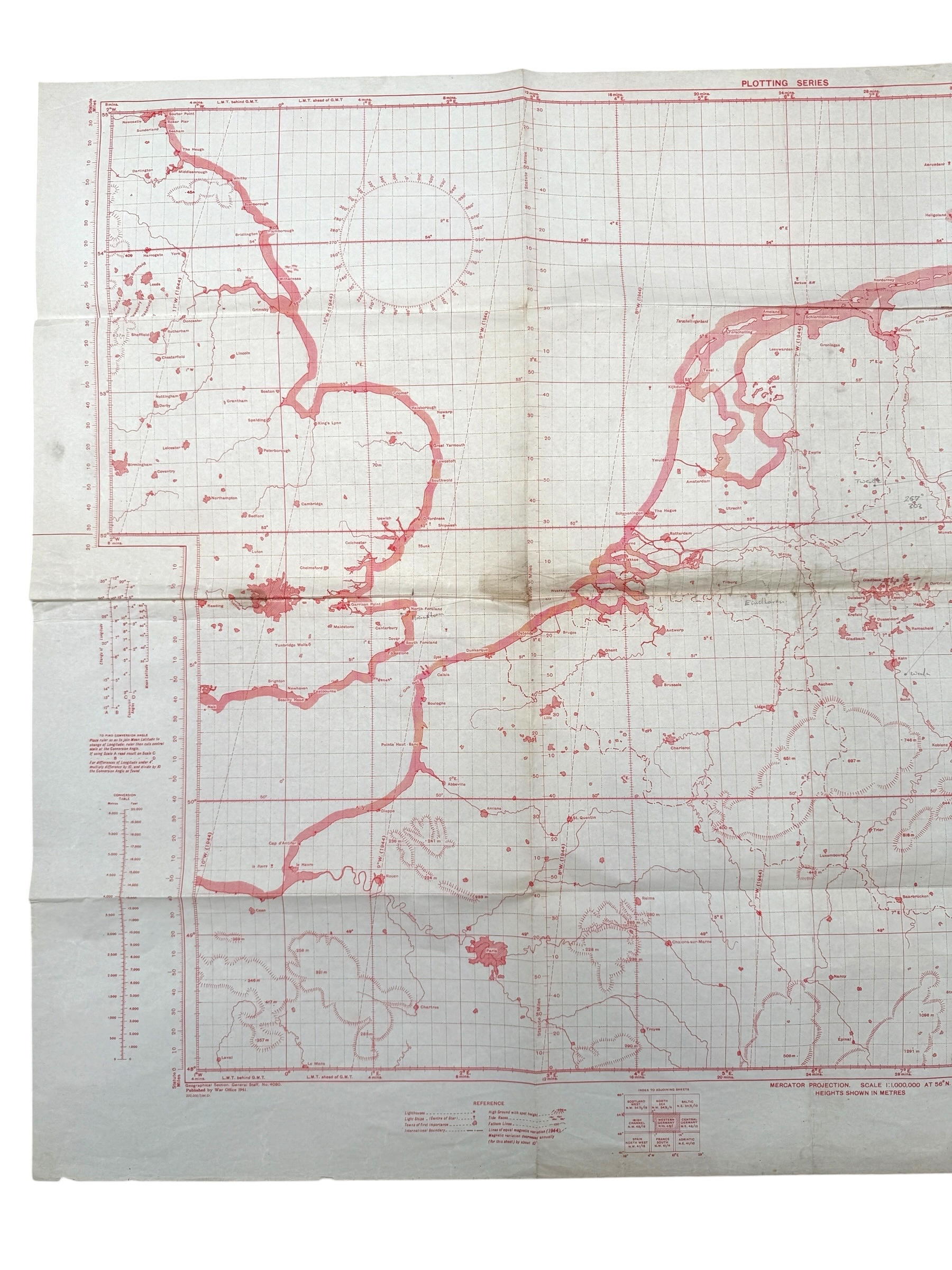
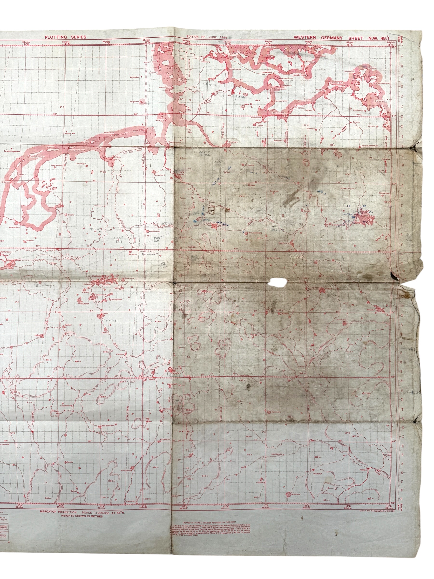
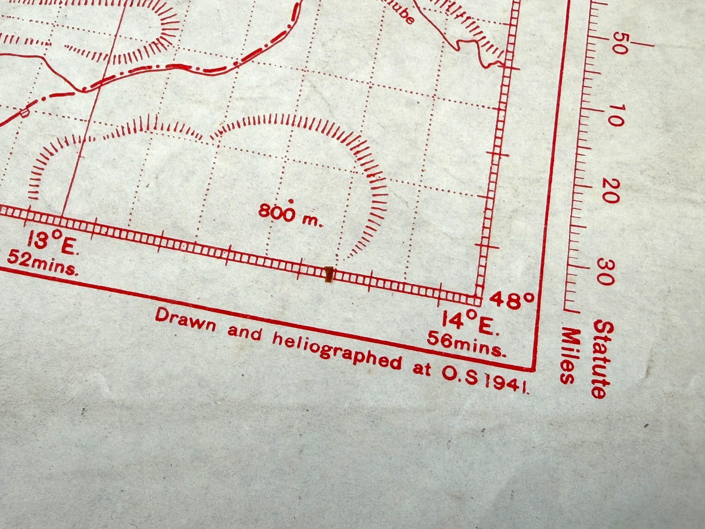
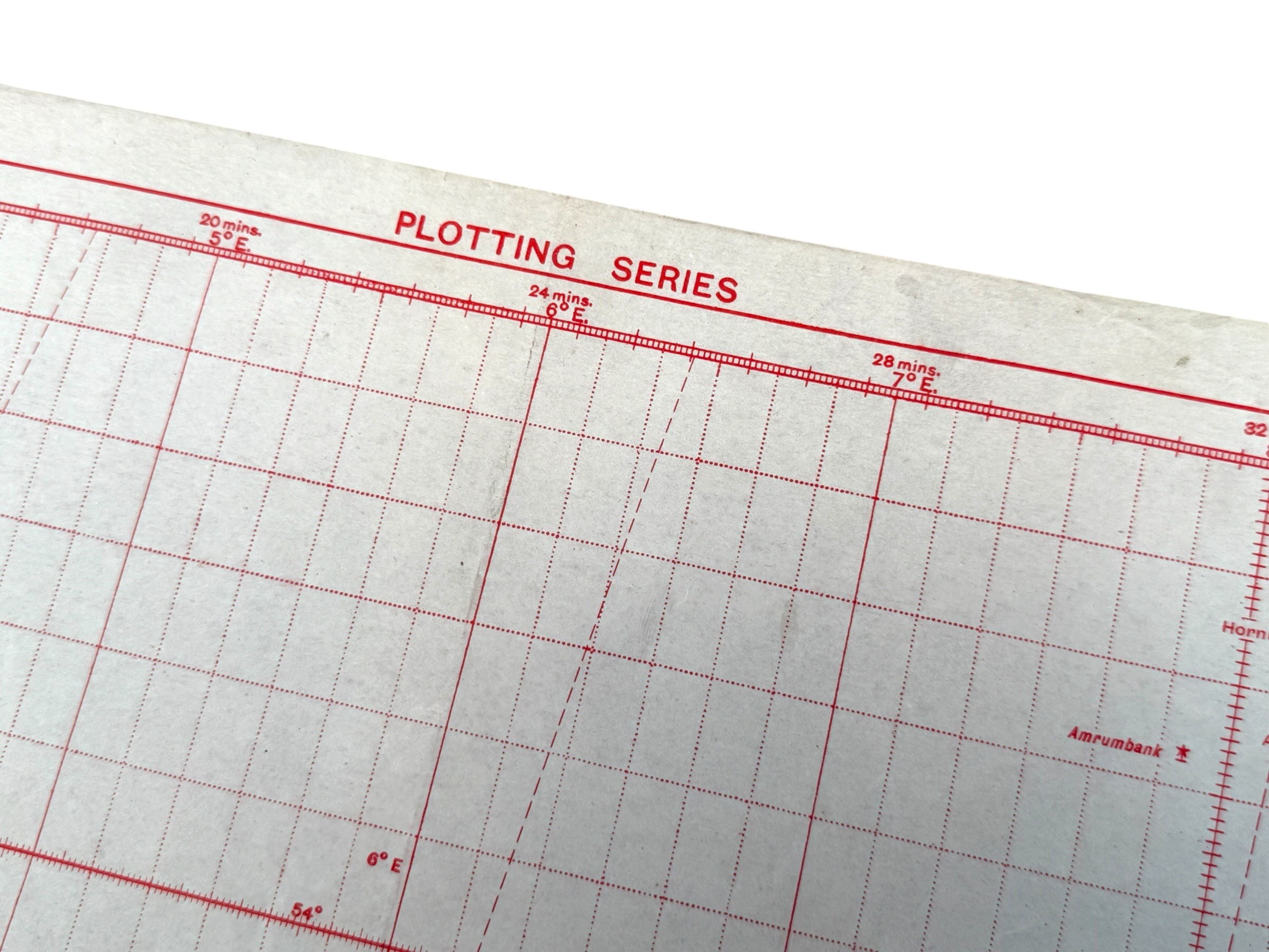
Original WWII British military RAF flight navigation map from the G.S.G.S. 4080 ‘Plotting Series’, published by the War Office and used for plotting flight routes over the Netherlands and Germany.
This type of G.S.G.S. 4080 plotting and navigation chart was actually carried aboard RAF aircraft by navigators and used during operational flights to plot routes, courses and positions.
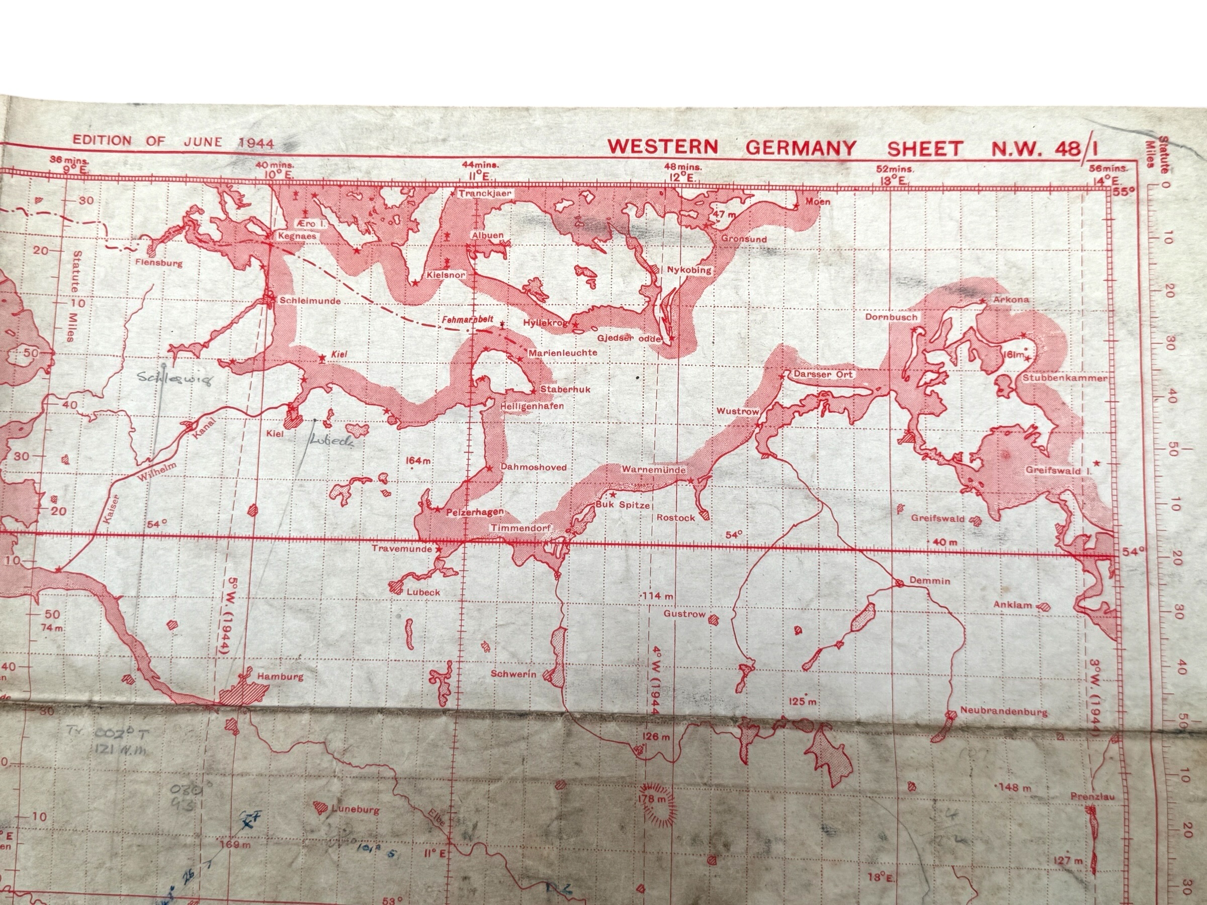
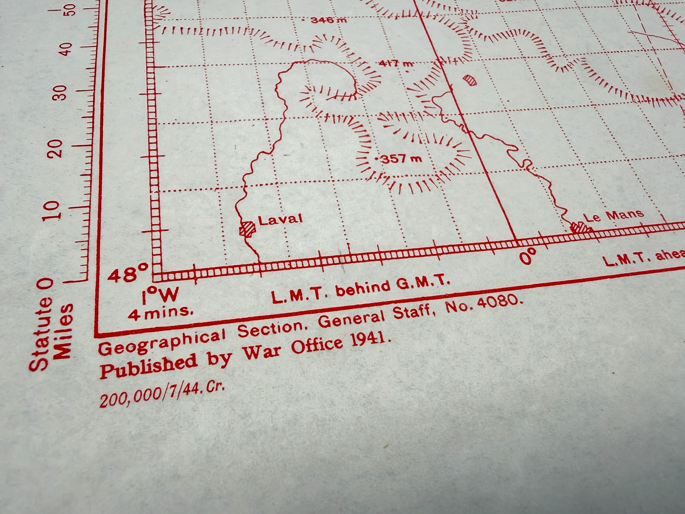
The map is ‘Western Germany Sheet N.W. 48/1’, Edition of June 1944, originally published by the War Office in 1941 and updated for this June 1944 edition.
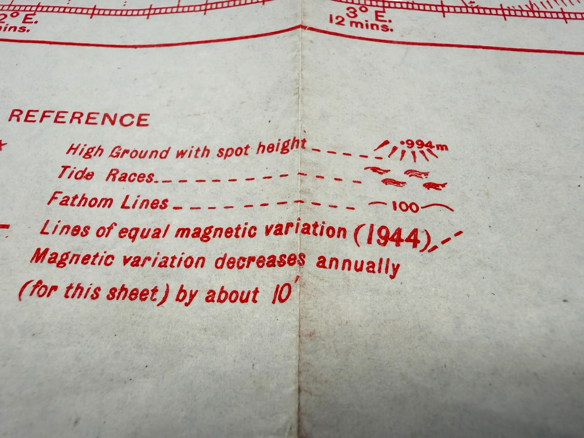
It uses the Mercator projection at a scale of 1:1,000,000 and measures approximately 110 x 81 cm.
G.S.G.S. 4080 maps of this type were produced as plotting and flight navigation charts on which aircrews and navigators could plot courses, positions, distances and other navigational information.
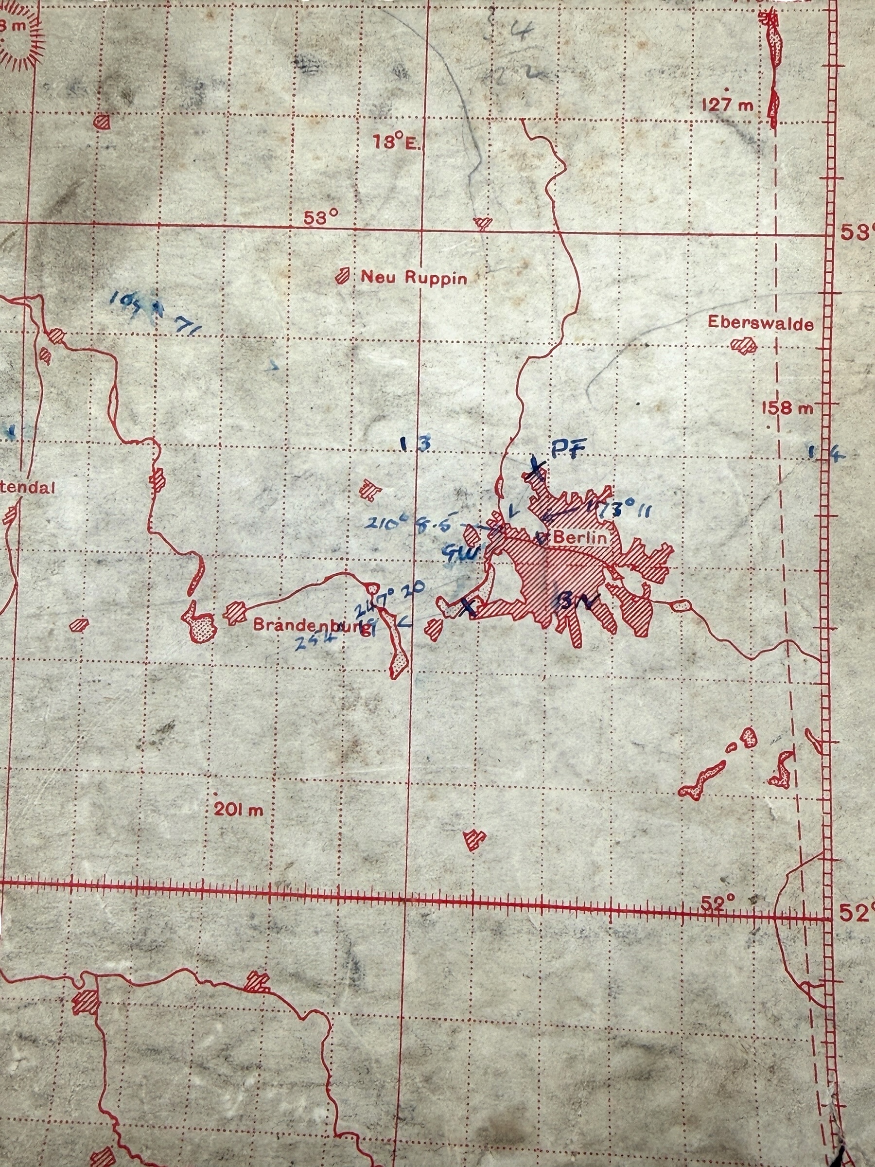
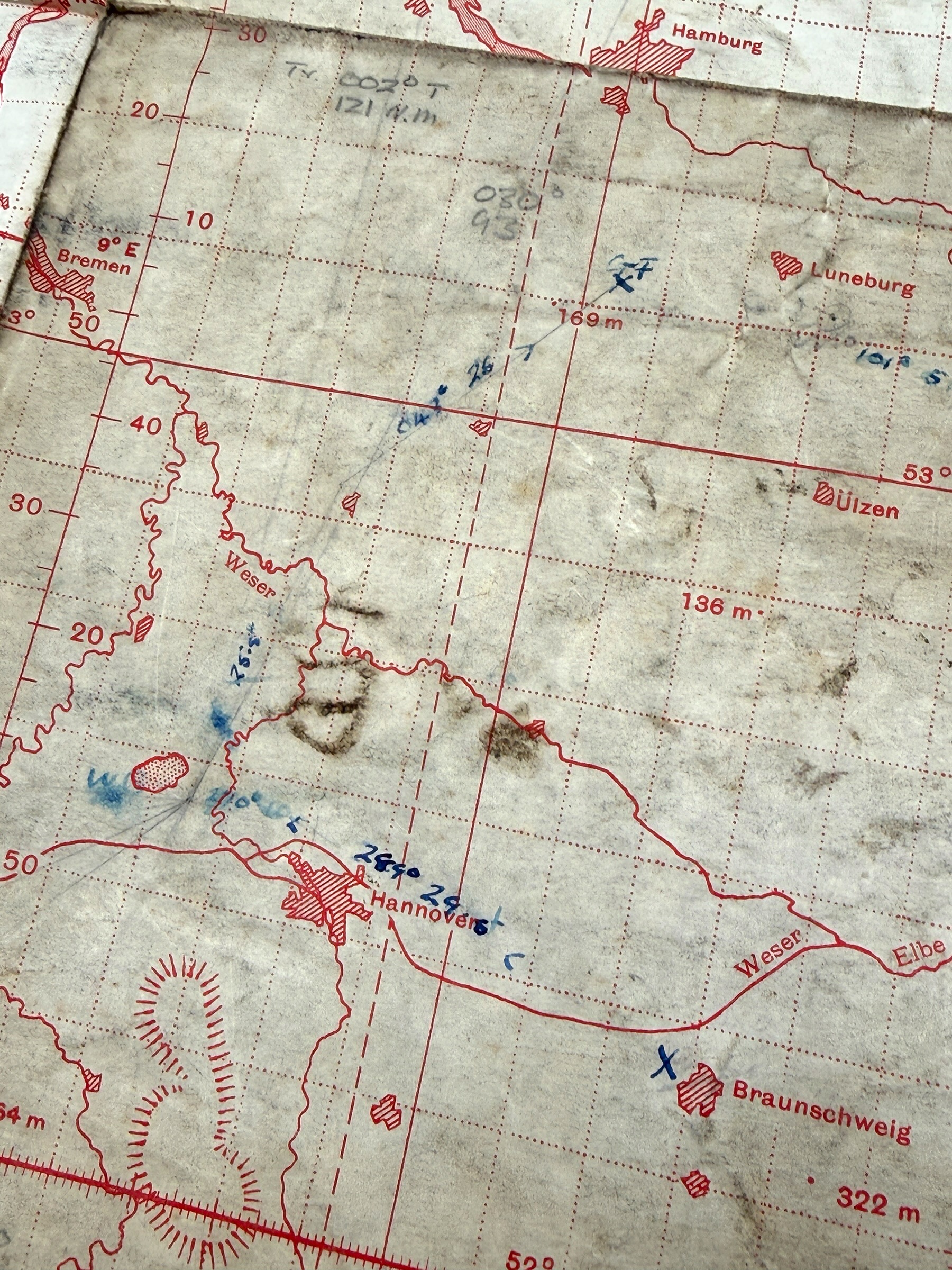
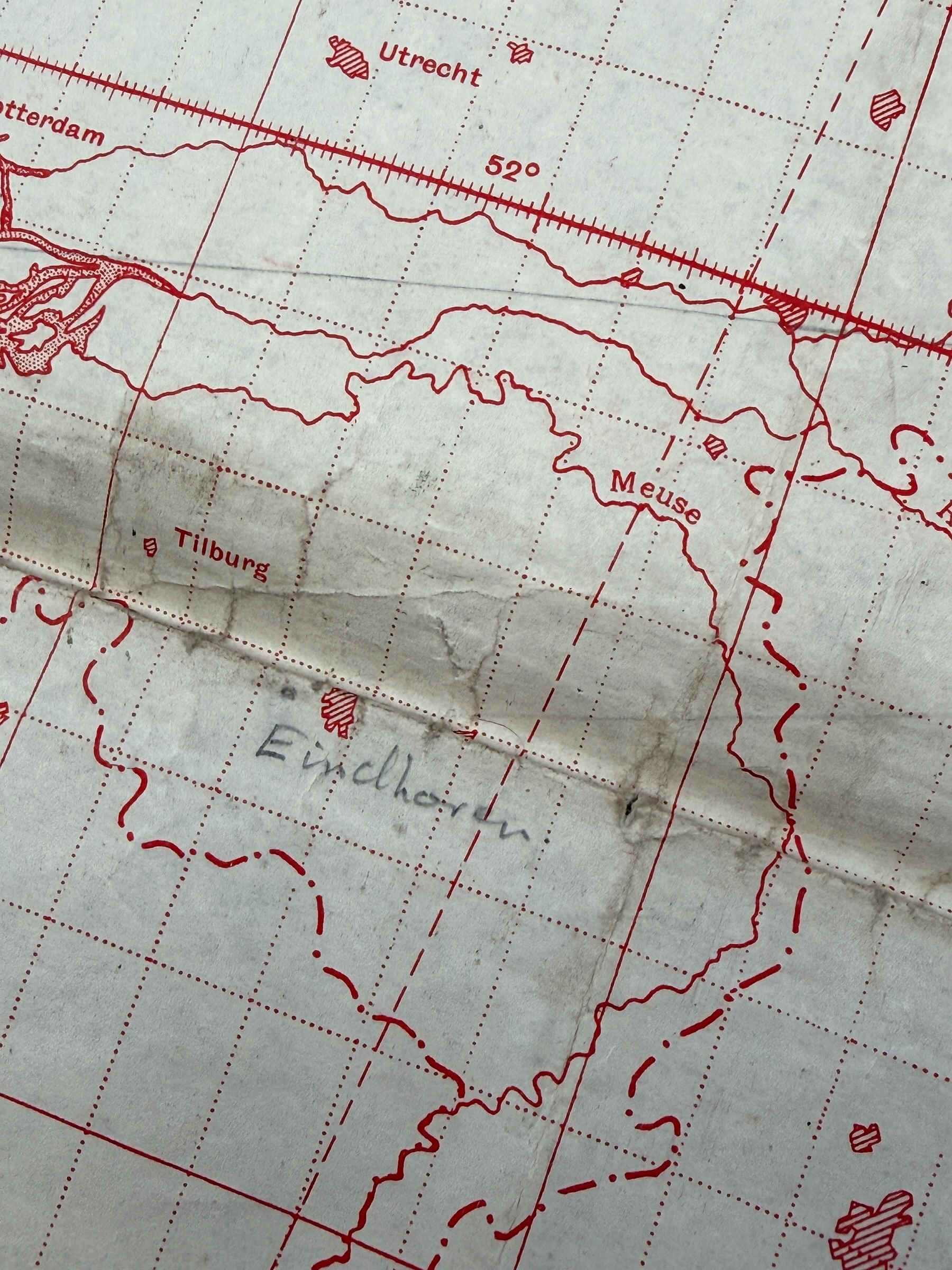
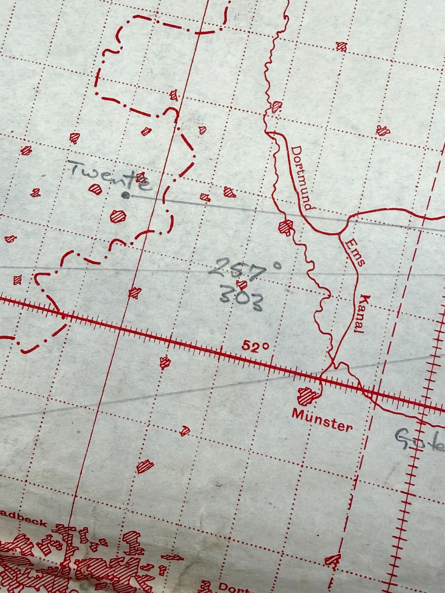
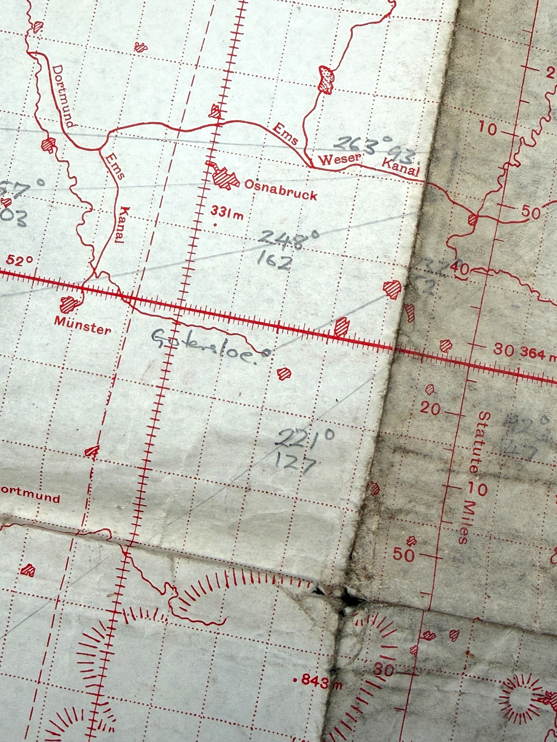
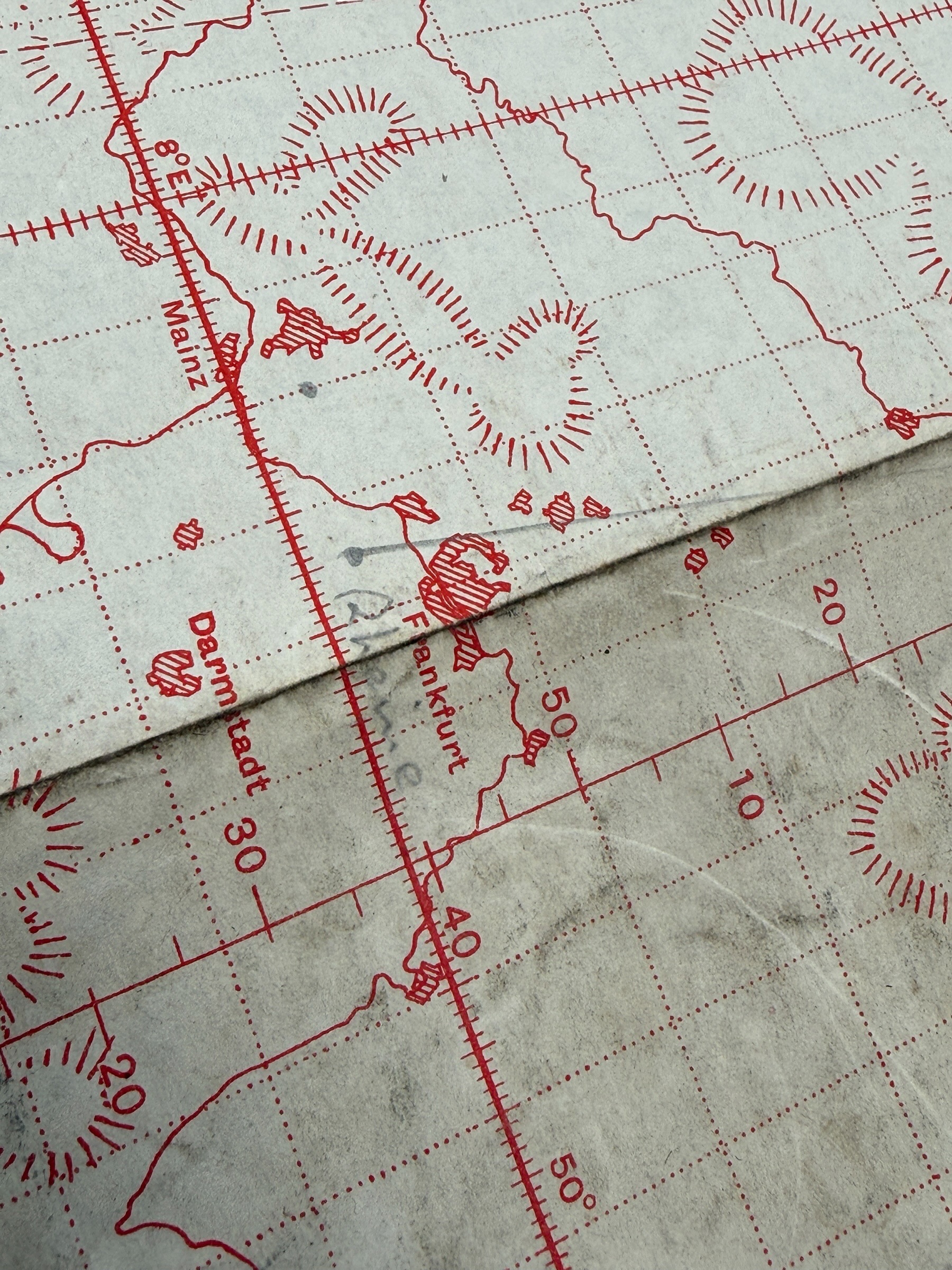
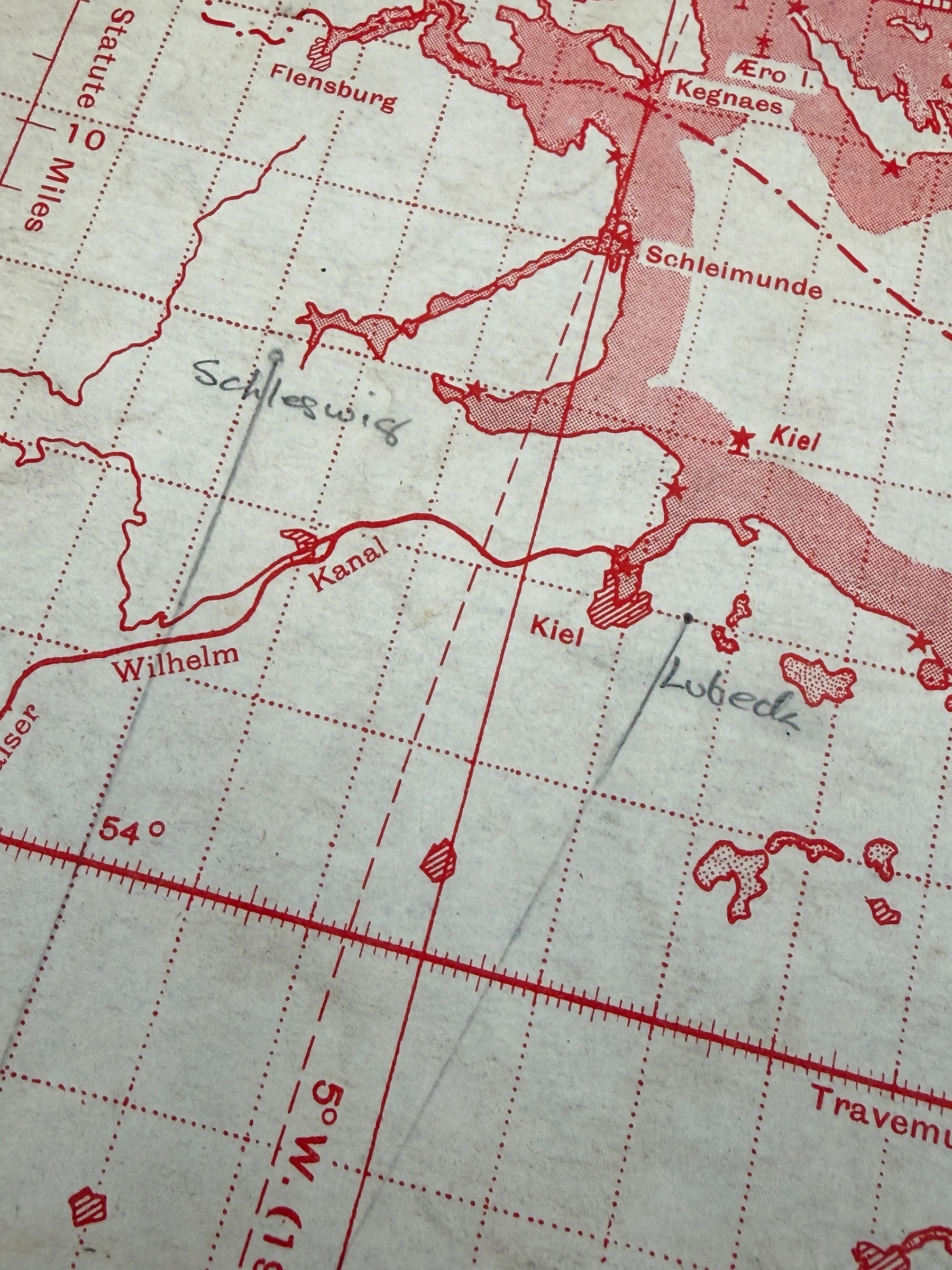
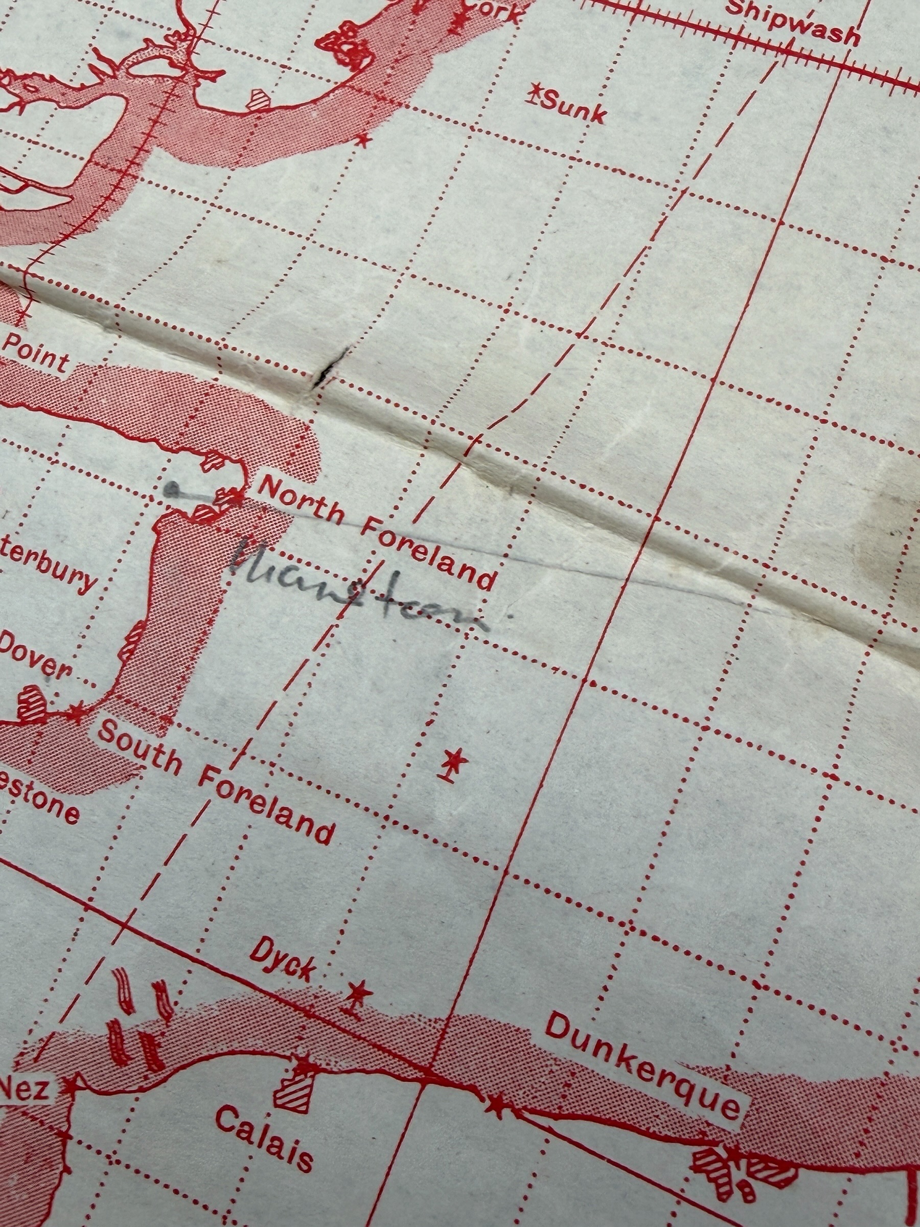
Especially interesting are the numerous handwritten operational-style navigation annotations, course lines, degree figures, numbers and coordinates applied across the Netherlands and Germany.
Eindhoven and Twente are among the handwritten locations, both being associated with important airfields used by the German Luftwaffe during WWII.
Further annotations and plotted lines can be seen around Münster and Osnabrück, Hannover, Frankfurt, Lübeck, Schleswig and Berlin.
Several courses and figures are written around Hannover, including values such as approximately ‘263°’, ‘245° 162’, ‘221° 127’ and ‘257° 303’, while additional handwritten calculations and a plotted course can be seen around Berlin.
Coordinates, degree figures, crosses, lines and other navigational markings appear at various points and correspond with the practical purpose of a plotting chart used for planning and following flight routes.
The June 1944 date is historically particularly interesting because the RAF’s large-scale ‘Battle of Berlin’ had ended in March 1944, but British attacks on Berlin did not cease completely.
After June 1944 RAF Bomber Command continued to send fast de Havilland Mosquito aircraft of the Light Night Striking Force on repeated night attacks against Berlin, alongside operations against other German cities.
Several Mosquito attacks on Berlin took place during July 1944 and such operations continued throughout the second half of 1944.
Hannover was also attacked by Mosquito aircraft during this period and featured in Bomber Command operations both as a target and in diversionary and supporting operations associated with raids towards Berlin.
The combination of the June 1944 edition and handwritten references around Eindhoven, Twente, Hannover and Berlin makes this chart particularly interesting for research into RAF flight routes and Bomber Command operations during the second half of 1944.
The map is in clearly used condition with folds, traces of use, discolouration, edge damage and a small hole from practical wartime handling.
A rare and historically important WWII navigation document retaining its original handwritten plotting, courses and navigational calculations.
Article number: 21314
Originele WWII Britse militaire RAF-vlieg- en navigatiekaart uit de G.S.G.S. 4080 ‘Plotting Series’, uitgegeven door het War Office en gebruikt voor het uitzetten van vliegroutes boven Nederland en Duitsland
De kaart betreft ‘Western Germany Sheet N.W. 48/1’, Edition of June 1944, en werd oorspronkelijk gepubliceerd door het War Office in 1941, waarbij deze uitgave in juni 1944 werd bijgewerkt.
Dit type G.S.G.S. 4080 plotting- en navigatiekaart werd door RAF-navigators daadwerkelijk aan boord van vliegtuigen meegenomen en tijdens operationele vluchten gebruikt om routes, koersen en posities uit te zetten.
De kaart is uitgevoerd in Mercatorprojectie op schaal 1:1.000.000 en meet circa 110 x 81 cm.
Dit type G.S.G.S. 4080-kaart was bedoeld als plotting- en flight navigation chart waarop vliegers en navigators koersen, posities, afstanden en andere navigatiegegevens konden uitzetten.
Bijzonder aan dit exemplaar zijn de vele handgeschreven operationele navigatieaantekeningen, koerslijnen, graden, cijfers en coördinaten die over Nederland en Duitsland zijn aangebracht.
Onder andere Eindhoven en Twente zijn handgeschreven aangeduid, waarbij beide locaties tijdens de oorlog over belangrijke door de Duitse Luftwaffe gebruikte vliegvelden beschikten.
Verder bevinden zich aantekeningen en uitgezette lijnen in de omgeving van Münster en Osnabrück, Hannover, Frankfurt, Lübeck, Schleswig en Berlijn.
Rond Hannover zijn verschillende koersen en cijfers genoteerd, waaronder waarden als circa ‘263°’, ‘245° 162’, ‘221° 127’ en ‘257° 303’, terwijl ook in de omgeving van Berlijn verschillende handgeschreven berekeningen en een uitgezette koers zichtbaar zijn.
Op verschillende plaatsen zijn daarnaast coördinaten, gradenwaarden, kruisen, lijnen en andere navigatiegegevens aangebracht die passen bij het gebruik van een dergelijke plotting chart voor het voorbereiden en volgen van vliegroutes.
De datering is historisch bijzonder interessant omdat de grote RAF ‘Battle of Berlin’ in maart 1944 eindigde, maar Britse aanvallen op Berlijn daarna niet volledig stopten.
Na juni 1944 voerde RAF Bomber Command met snelle de Havilland Mosquito’s van de Light Night Striking Force herhaaldelijk nachtelijke aanvallen op Berlijn uit, naast operaties tegen andere Duitse steden.
Zo werden in juli 1944 verschillende Mosquito-aanvallen op Berlijn uitgevoerd en bleven dergelijke aanvallen gedurende de tweede helft van 1944 plaatsvinden.
Ook Hannover werd in deze periode door Mosquito’s aangevallen en kwam binnen Bomber Command-operaties voor als doelwit en bij misleidings- en ondersteuningsoperaties richting Berlijn.
De combinatie van de juni 1944-editie en de handgeschreven aanduidingen bij Eindhoven, Twente, Hannover en Berlijn maakt deze kaart bijzonder interessant voor onderzoek naar RAF-vliegroutes en Bomber Command-operaties in de tweede helft van 1944.
De kaart verkeert in duidelijk gebruikte staat met vouwen, gebruikssporen, verkleuringen, beschadigingen aan de randen en een klein gaatje, passend bij intensief praktisch gebruik.
Een zeldzaam en vooral historisch interessant WWII navigatiedocument waarop de oorspronkelijke handgeschreven plotting en koersberekeningen bewaard zijn gebleven.
Artikelnummer: 21314
Op voorraad