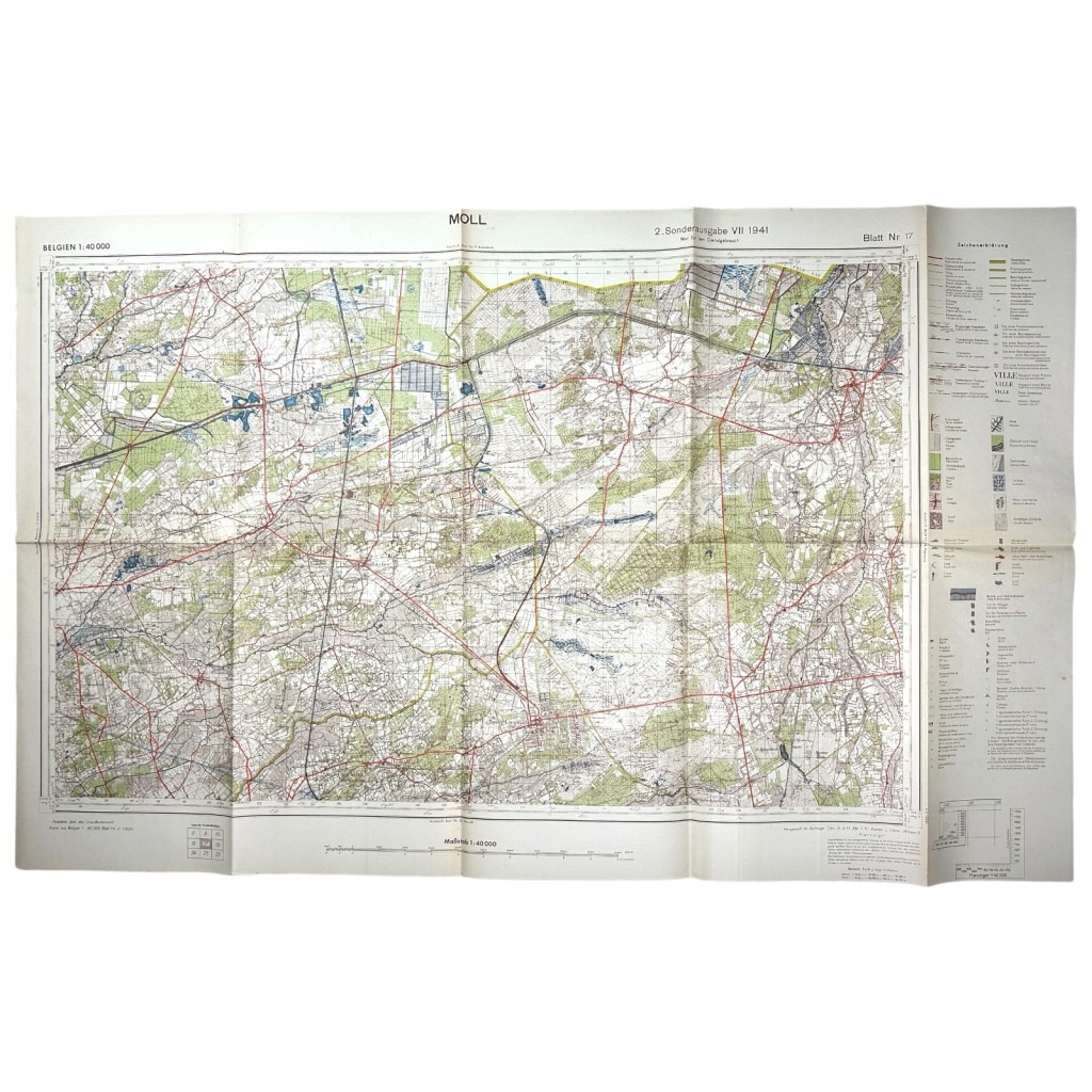
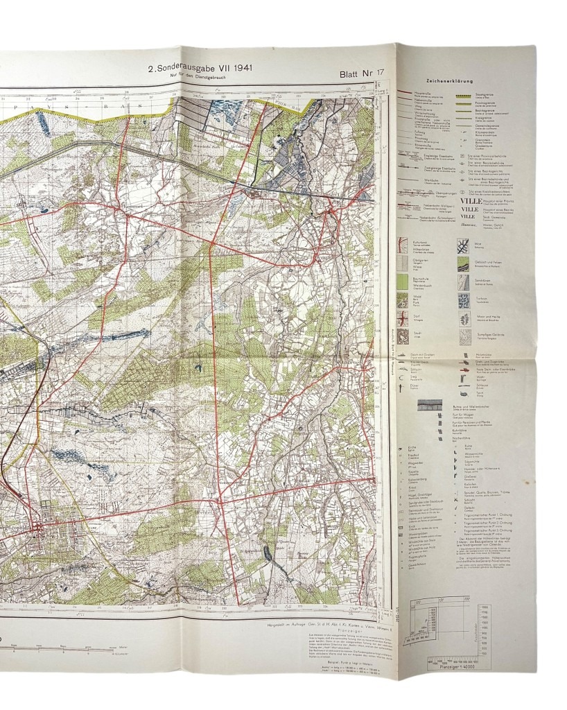
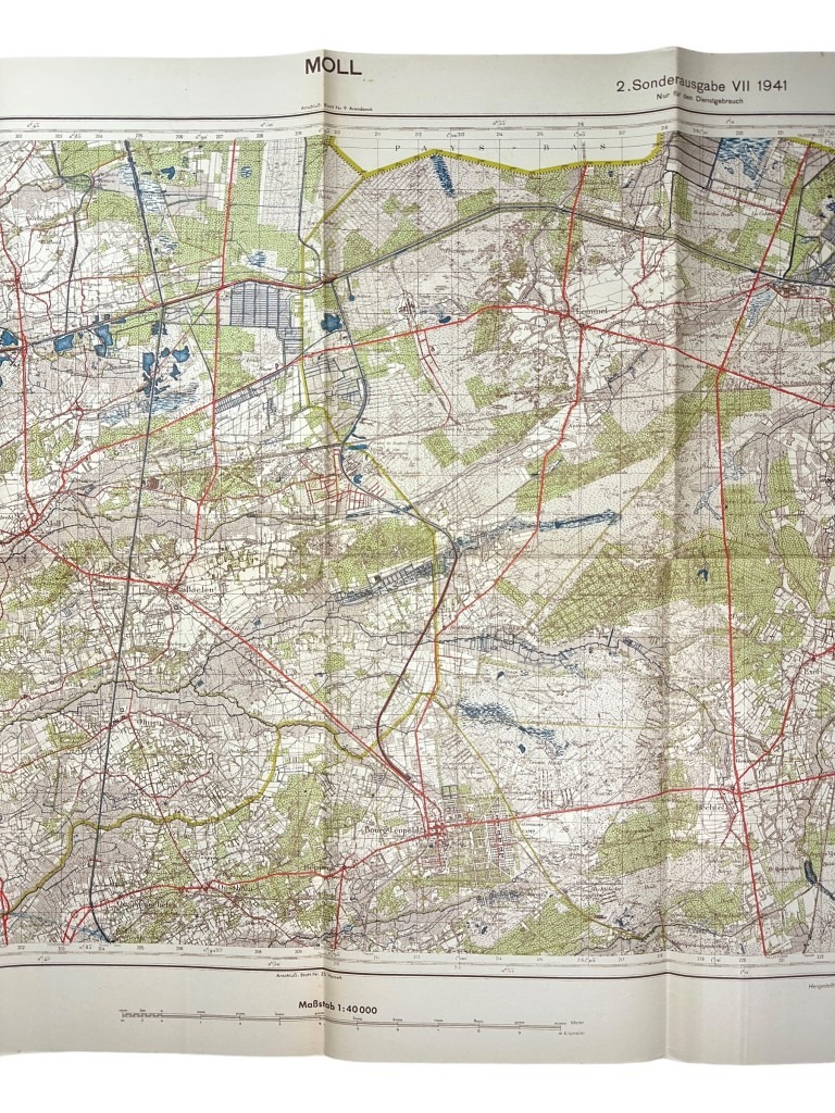
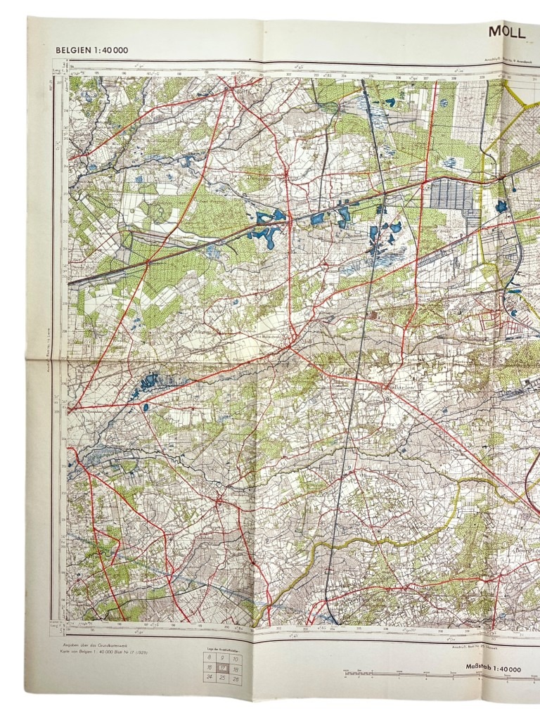
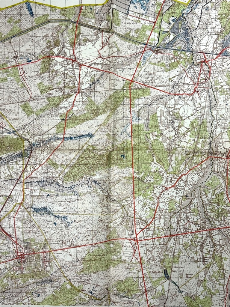
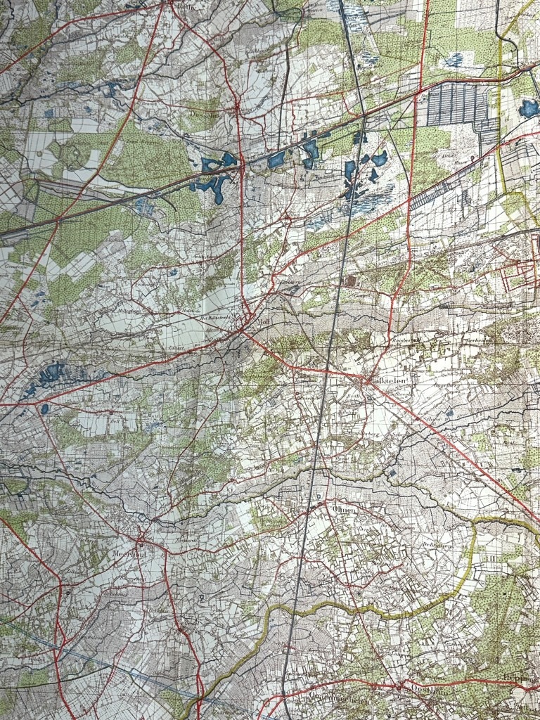
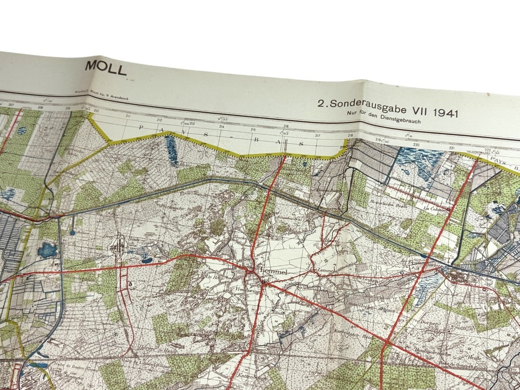
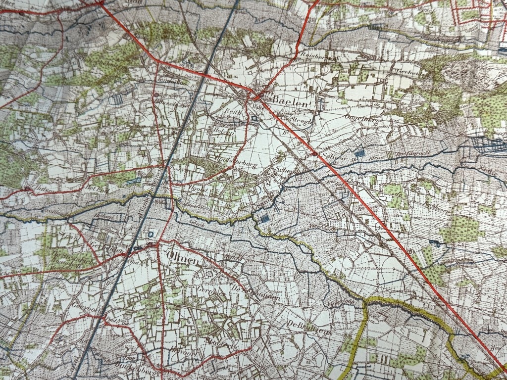
Original WWII German army map of Mol in Belgium
45 €
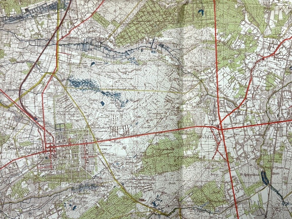
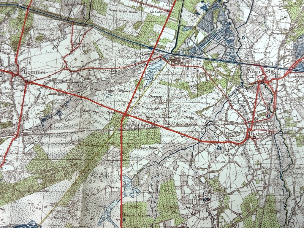
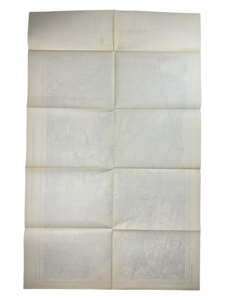
This German Army map is in good condition, dates from 1941 and shows the area around Mol near the border between the Netherlands and Belgium.
This map shows locations such as Mol, Lommel, Overpelt, Neerpelt, Baelen, Hechtel and many others.
Perfect for the militaria or World War II collection!
Article number: 13373
Originele WWII Duitse stafkaart van gebied Mol (België)
Deze Duitse leger stafkaart is in goede conditie, dateert uit 1941 en toont het gebied rondom Mol bij de grens tussen Nederland en België.
Op deze kaart zijn locaties te vinden zoals Mol, Lommel, Overpelt, Neerpelt, Baelen, Hechtel en nog vele anderen.
Perfect voor de militaria of Tweede Wereldoorlog collectie!
Artikelnummer: 13373
Out of stock

